The Battlefield
LOCATION
Northallerton is one of the most securely located of early medieval English battles. Although there are still some problems they are matters of detailed positioning within the battlefield rather than a choice between several different sites. The contemporary accounts are very specific about the battle having taken place two miles north of Northallerton and the traditional site, with the name Standard Hill, lies just over two miles from the centre of Northallerton.
One late interpolation into a version of Aelred’s account refers to the battle having been fought on ‘Cottwen more’. This has been identified with Cowton and has led to some a dispute over the site, though this alternative has been dismissed as Cowton lies 4.5 miles to the north west. It should not however be assumed that ‘Cottwen more’ was actually at Cotwen and it is conceivable that in the medieval period the name was associated with land in the area of the traditional site.
Most authors have accepted a ‘traditional’ interpretation of the location with the Scottish and English forces centred on the north and the south Standard Hill farms respectively. These authors have then attempted various interpretations of the events of the battle to explain the location of the mass burials. Most contorted and implausible was Barrett who reversed the English and Scots positions, which is quite clearly wrong, as Burne pointed out. Other authors, including Burne himself, have tried to explain the location of the Scot Pits as the result of Prince Henry’s late charge through the English lines.
Bradbury almost alone has disputed the traditional interpretation and favoured a more southerly position. This can now be supported by newly identified evidence and a revision of the deployments proposed with greater confidence.
This new evidence is the identification of field name evidence for a former area of open field strips known as ‘Standard Leeze’, immediately south of the eastern half of Scot Pits Lane. Immediately south of Standard Leeze are Short, East and West Leeze, showing that Standard Leeze to be a very tightly constrained area. Field name evidence also may allow the Scot Pits to be a little more exactly defined, because in 1765 the easternmost of the four Scot Pit Fields, immediately north of Scot Pits Lane, was described as ‘properly called Little Moor’.
HISTORIC TERRAIN
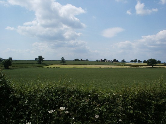
The character of the battlefield at Northallerton has changed dramatically in the more than 950 years that separate us from the action. Much remains to be discovered but some facts are now becoming clear. Today this is a landscape of small hedged fields of pasture or arable with a pattern of dispersed farms and other buildings. In the 12th century it seems to have been a wide area of open field, but possibly in part moorland, on a part of a relatively flat tract of poorly drained clay land with discrete areas of marsh.
The battlefield was traversed north-south by the Great North Road and may also have been crossed by the Brampton Lane along which the English army may have marched to the battlefield. Scot Pits Lane which links the two roads is likely to be a later creation. The land sloped gently down on the west side where Cinnamire, a large area of marsh or open water, covered the English left flank. It is presently unclear whether any significant features lay on the right flank of the English deployment. North to south the battlefield slopes up only very slightly onto the top of Standard Hill, but especially in the area of Scot Pits Lane, where the main action took place, the ground is almost flat, giving no advantage to either side.


