Access
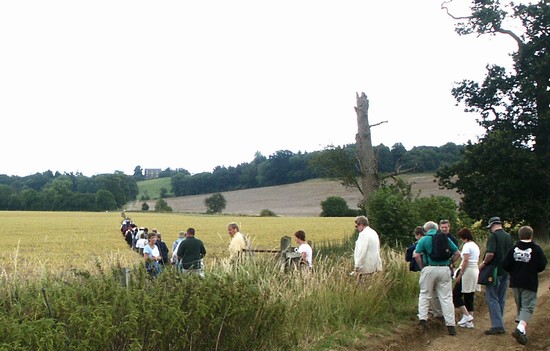
The accessibility of battlefields varies enormously. Some have waymarked walks which lead the visitor around all the key locations, enabling one to really appreciate the terrain and how it was exploited by the armies. At the other extreme a few battlefields are very poorly served by rights of way and can only be viewed from public roads. But with the appropriate information even these sites are worth exploring.
On most of our battlefields and related military site there are clear markers indicating public access, as with the wonderful sign shown here on the path to the King Alfred monument on the Isle of Athelney. Does it perhaps warn of the consequences of not keeping to the marked paths?
Please take every care to keep to the rights of way, permitted paths and access land, and always follow the Countryside Code.
For a copy of the Code CLICK HERE
THERE ARE A RANGE OF WAYS TO GAIN ACCESS TO BATTLEFIELDS:
PUBLIC RIGHTS OF WAY
These are shown on the modern 1:25,000 Ordnance Survey 'Explorer' maps. One of these, with military information added, is provided in the download area for each of the featured battlefields on this website. They can also be viewed on the Countryside Agency website as a background to the Open Country mapping (see below). But for the final word on any right of way one should consult the Definitive Maps held by the relevant highway authority, typically the County Council or Unitary Authority.
For general information about rights of way CLICK HERE
OPEN COUNTRY
This is land which has been classified by the Countryside Agency according to the Countryside and Rights of Way Act 2000. This data is being progressively digitised and is planned to be complete during 2004.
To view the maps of Open Country on the Countryside Agency website CLICK HERE
REGISTERED COMMON LAND
This is land which has been registered under the Commons Registration Act 1965. This is also shown on the Countryside Agency website (see above)
DEDICATED LAND
This is property dedicated for public access by a public or private landowner. It includes land in the ownership of bodies such as the National Trust, Forestry Commission and others.
AGRI-ENVIRONMENT SCHEMES
This is another way in which some private land has been made publicly accessible. DEFRA provide information on their website about public access which has been achieved through both the Countryside Stewardship and the Environmentally Sensitive Areas schemes. This includes maps of specific locations where such access is possible.
To view the DEFRA site CLICK HERE
When compiling information for the battlefield walks for these web pages the Rights of Way information has generally been taken from the Ordnance Survey 1:25,000 Explorer mapping. However in any situation where uncertainty arose then up to date accurate information has been sought from the officer maintaining the Definitive Maps of Rights of Way in the relevant County or Unitary Authority. Where available, access information has also been checked on the Countryside Agency website.
If you have any comments about the accuracy or suitability of the routes recommended in these web pages then please email: info@battlefieldstrust.com
DISCLAIMER
The Battlefields Trust has made every effort to ensure that the information provided on this website regarding public access to battlefields and other related sites is correct, but the Trust cannot be held responsible for the accuracy of the access information. If in any doubt then reference should be made to the relevant Definitive Map and the other sources of information listed above.


